Tampa International Airport (TPA)
Orientation and Maps
(Tampa, Florida (FL), USA)
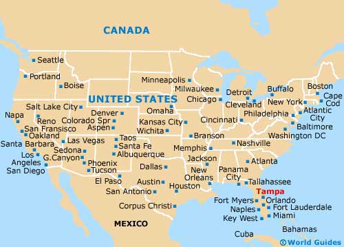
A popular and attractive waterfront city on the western coast of Florida, Tampa is a modern city with an impressive skyline. Home to a busy harbor area and nearby beaches, Tampa is close to some of Florida's most famous cities, such as Orlando, Kissimmee, St. Petersburg, Clearwater and Sarasota.
On the western side of the city, Tampa International Airport (TPA) serves the region well. The Greyhound bus station stands along East Polk Street and provides regular buses both to and from Orlando (2 hours), Miami (8 hours) and St. Petersburg (1/2 hour). Tampa's Amtrak train station lies along the Nebraska Avenue North and features many trains, which travel to Jacksonville and Miami, amongst other destinations.
Tampa International Airport (TPA) Maps: Important City Districts
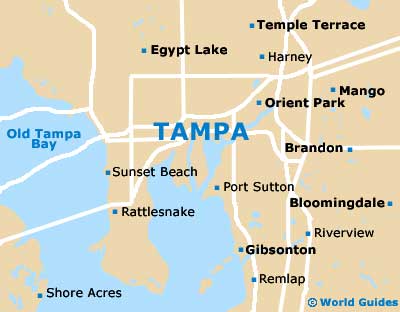
Standing on the northeastern side of Tampa, Ybor City dates back to the latter part of the 19th century, when it was best known for its thriving cigar businesses. Today, this is a particularly vibrant part of Tampa and is brimming with shops, restaurants and entertainment. Guided tours of this historic area are available and always popular.
Downtown Tampa is where many of the main attractions can be found. Highlights include the Tampa Museum of Art along North Ashley Street and the Florida Aquarium on Channelside Drive. Nearby, the Busch Gardens theme park has long been one of the city's main draw cards and features roller coasters and exotic animals.
USA Map
Florida Map

Tampa Map